ABOUT THE STUDY
The Philippines is laden with blue carbon ecosystems (BCEs). In particular, the country is both a mangrove diversity and mangrove loss hotspot. Under the Philippine Fisheries and Coastal Resiliency Project (FISHCORE)’s Pilot Program for Climate Resilience (PPCR), the study looks into the blue carbon potential (BCP) of representative FMA 6 and 9 mangrove areas through remote sensing and field measurements, The BCP of seagrass meadows in FMA 6 and 9 will also be assessed through bibliometric analysis of available data.
The FISHCORE Project
The FishCoRe Project, spearheaded by DA, through BFAR and funded by World Bank Philippines is providing support to the fishery, aquaculture and coastal zone management of project-covered Fisheries Management Areas (FMAs) . The project subcomponents work to contribute to improved food security and resilient ecosystems. Specifically, PPCR provides technical assistance to the government’s climate change adaptation and mitigation (CCAM) measures, including mangrove and seagrass protection, conservation, and rehabilitation.

BlueCarT: Blue Carbon Tracker
This user-friendly, open-access data analytic platform produced by Blue CAP ensures systematic monitoring and reporting of BC assessments. It consolidates meta-analysis data and the study data to create a comprehensive picture of BCE health, extent and carbon dynamics. We hope BlueCarT will encourage policy makers, scientists, and communities to continue investing and supporting mangrove and seagrass as NbS for CCAM in their community.
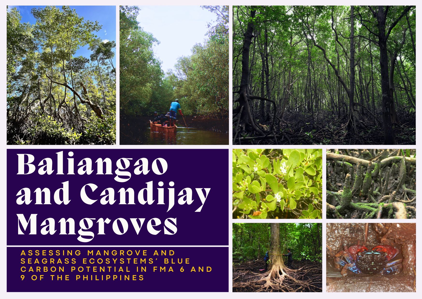
FIELDWORKS
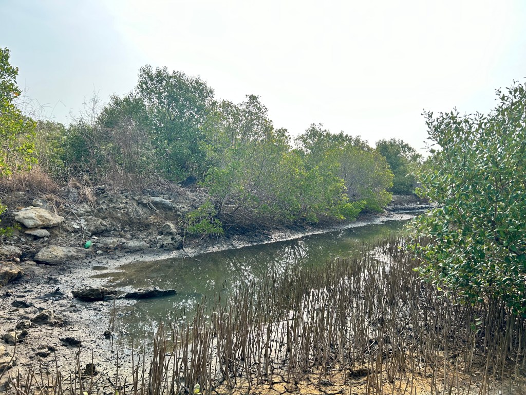
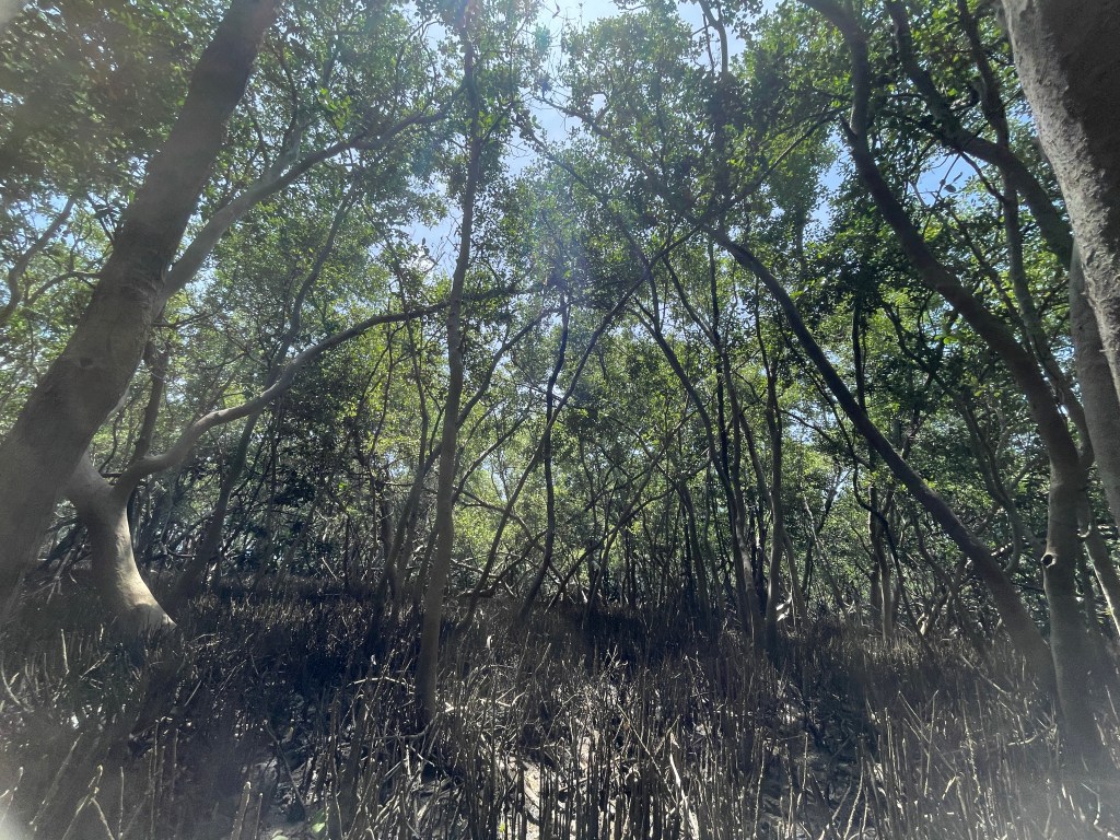
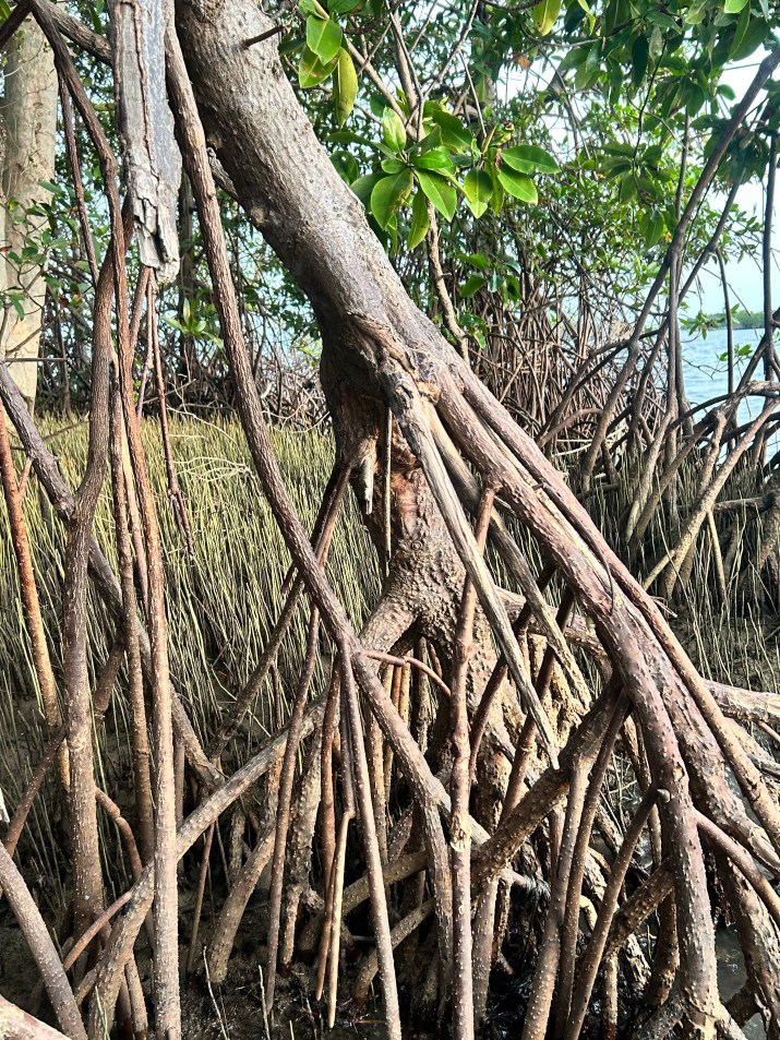
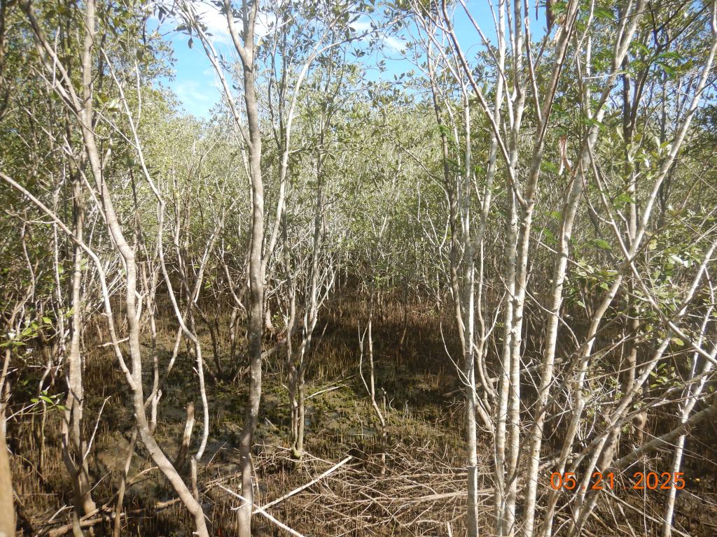
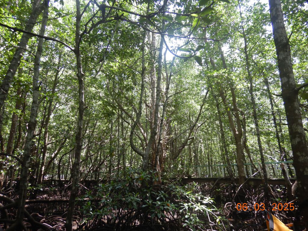
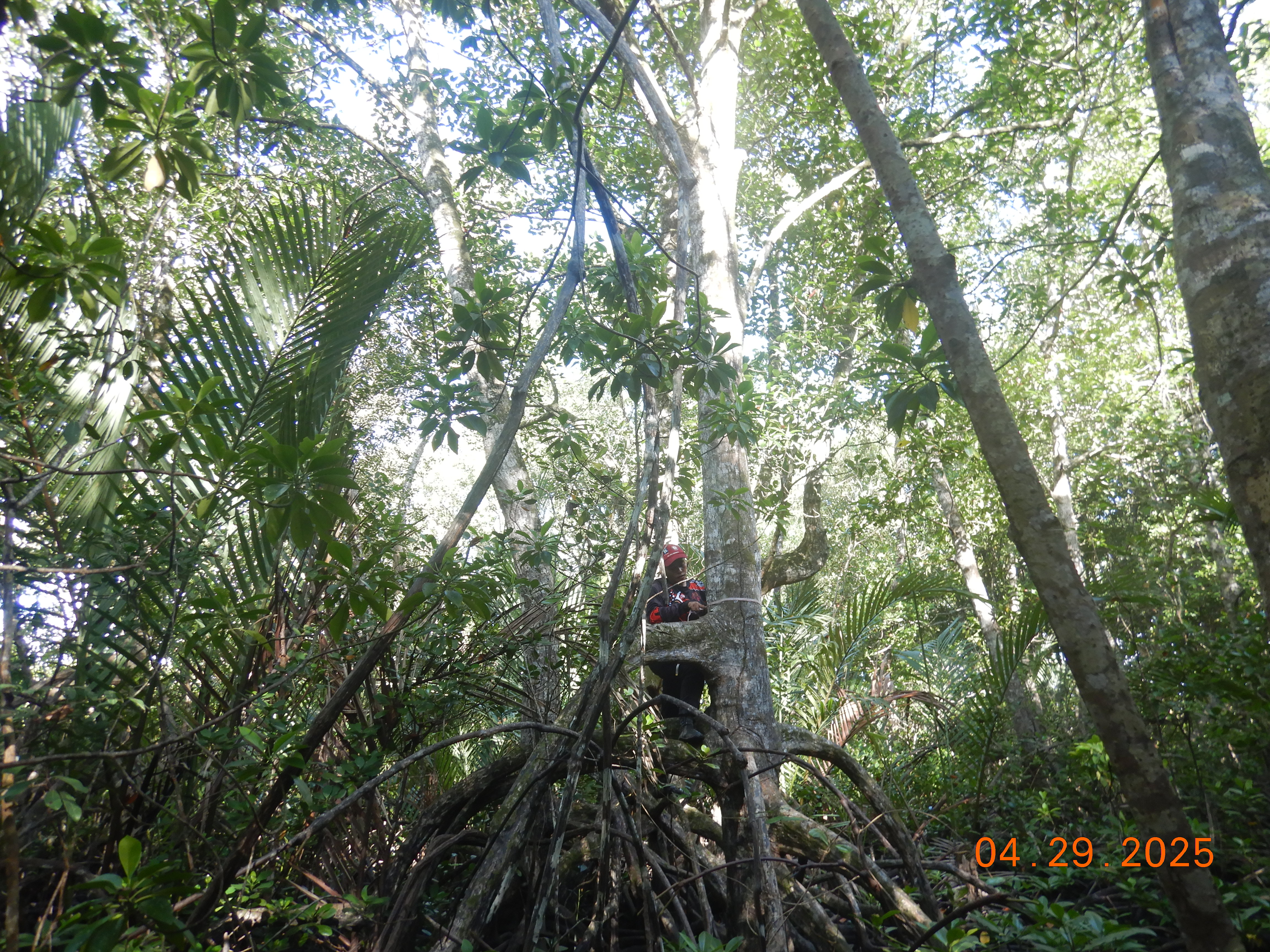
Different mangrove stand types (natural, restored, and recolonized) were sampled within FMA 6 and FMA 9. Sites were first selected via remote sending before field validation. Municipalities with extensive mangrove cover and/or declared as important conservation sites were prioritized. Although outside FMA 6 and 9, additional sampling was conducted in a previously established sites of the project leader in Oriental Mindoro to establish temporal carbon stock trends. Click on each site for more details including field site photos and preliminary results.


FIELDWORK ACTIVITIES


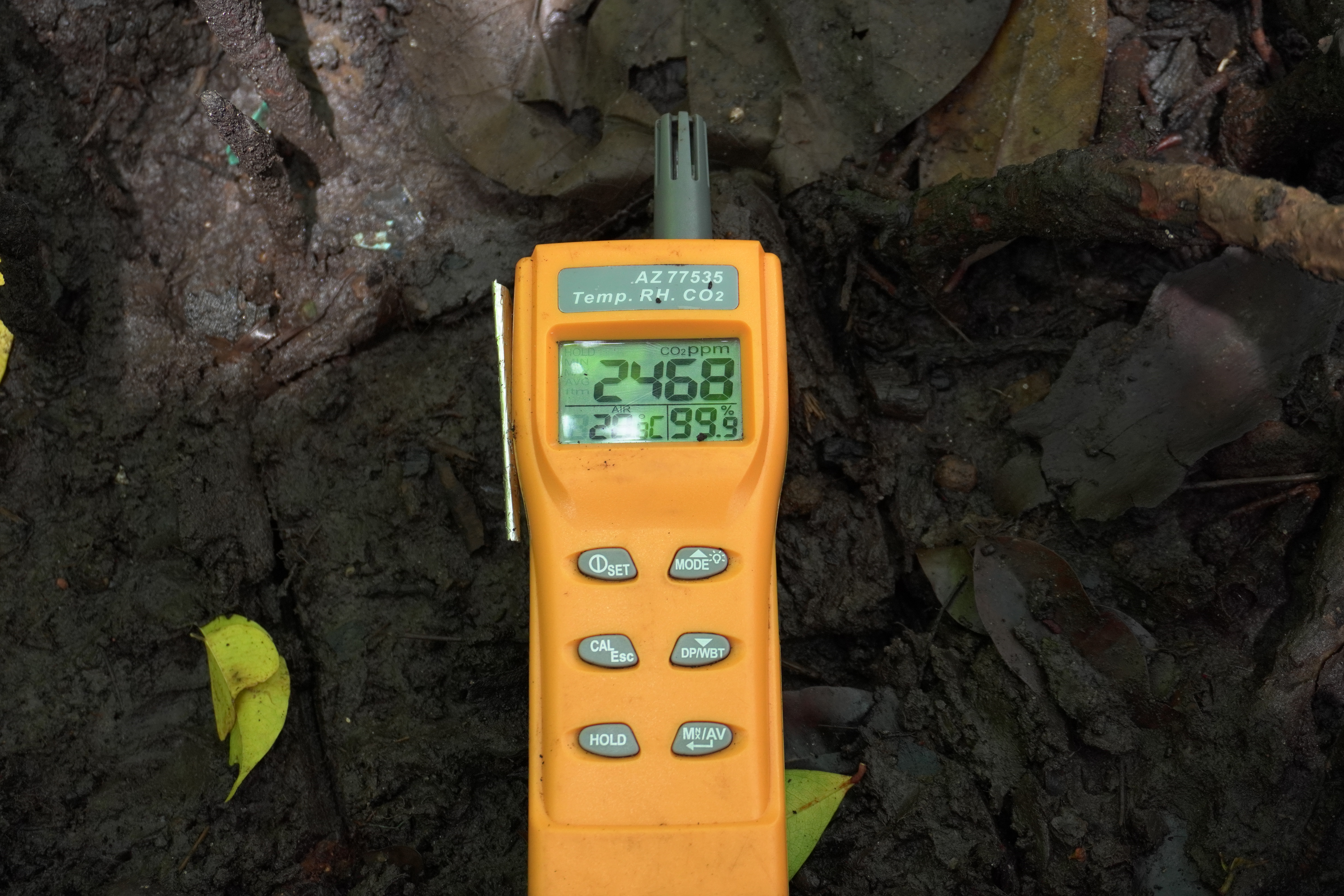


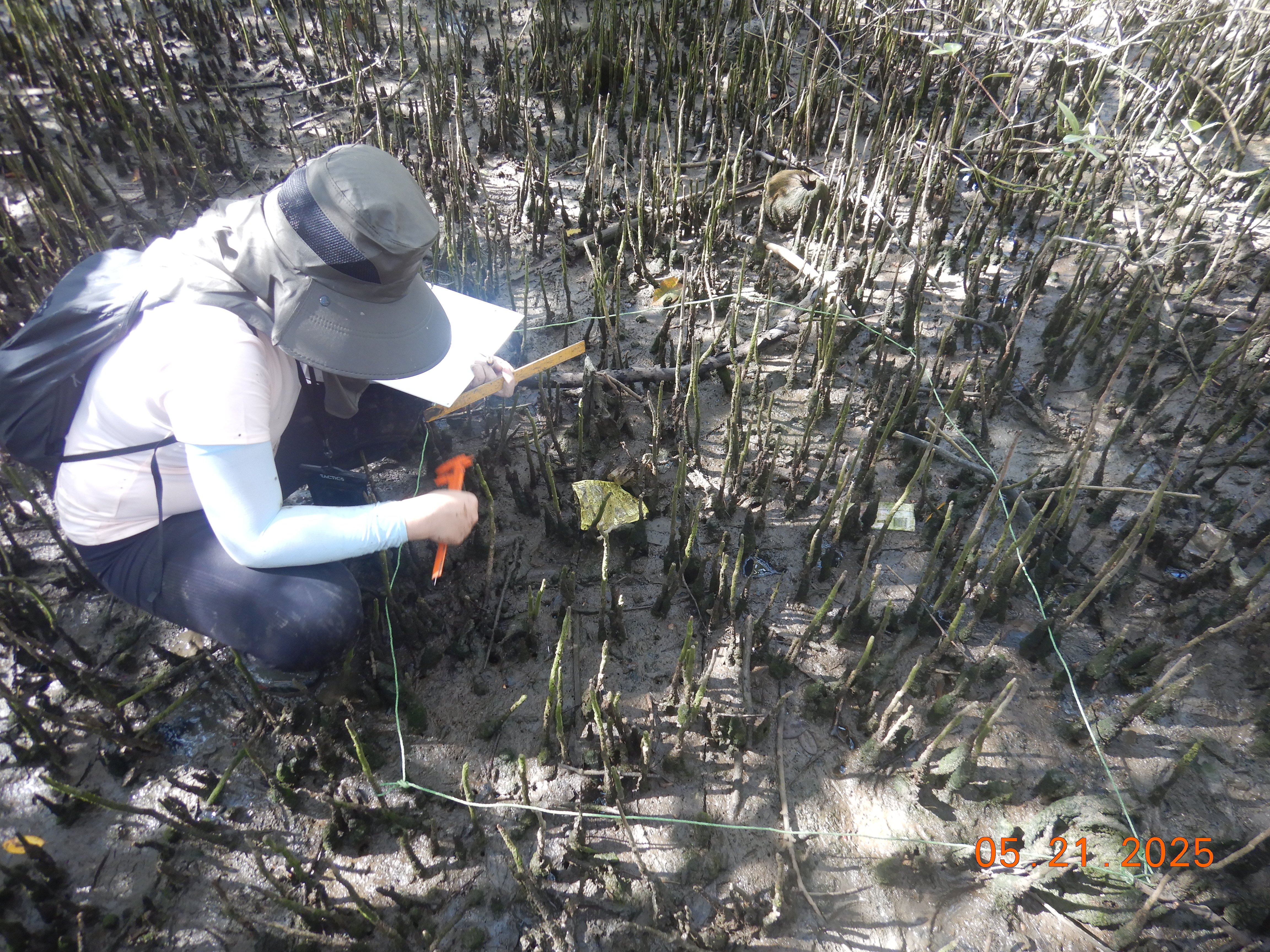
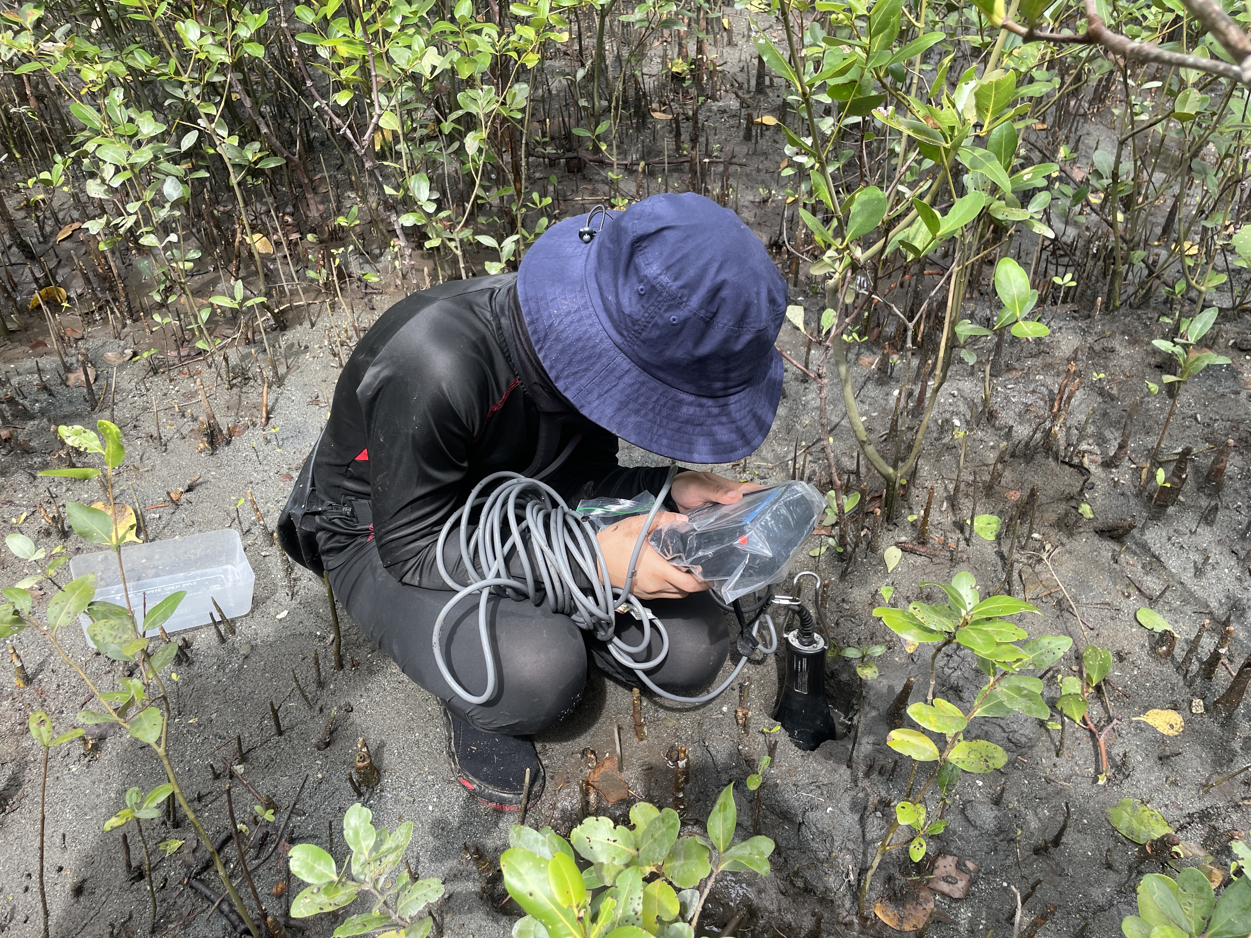
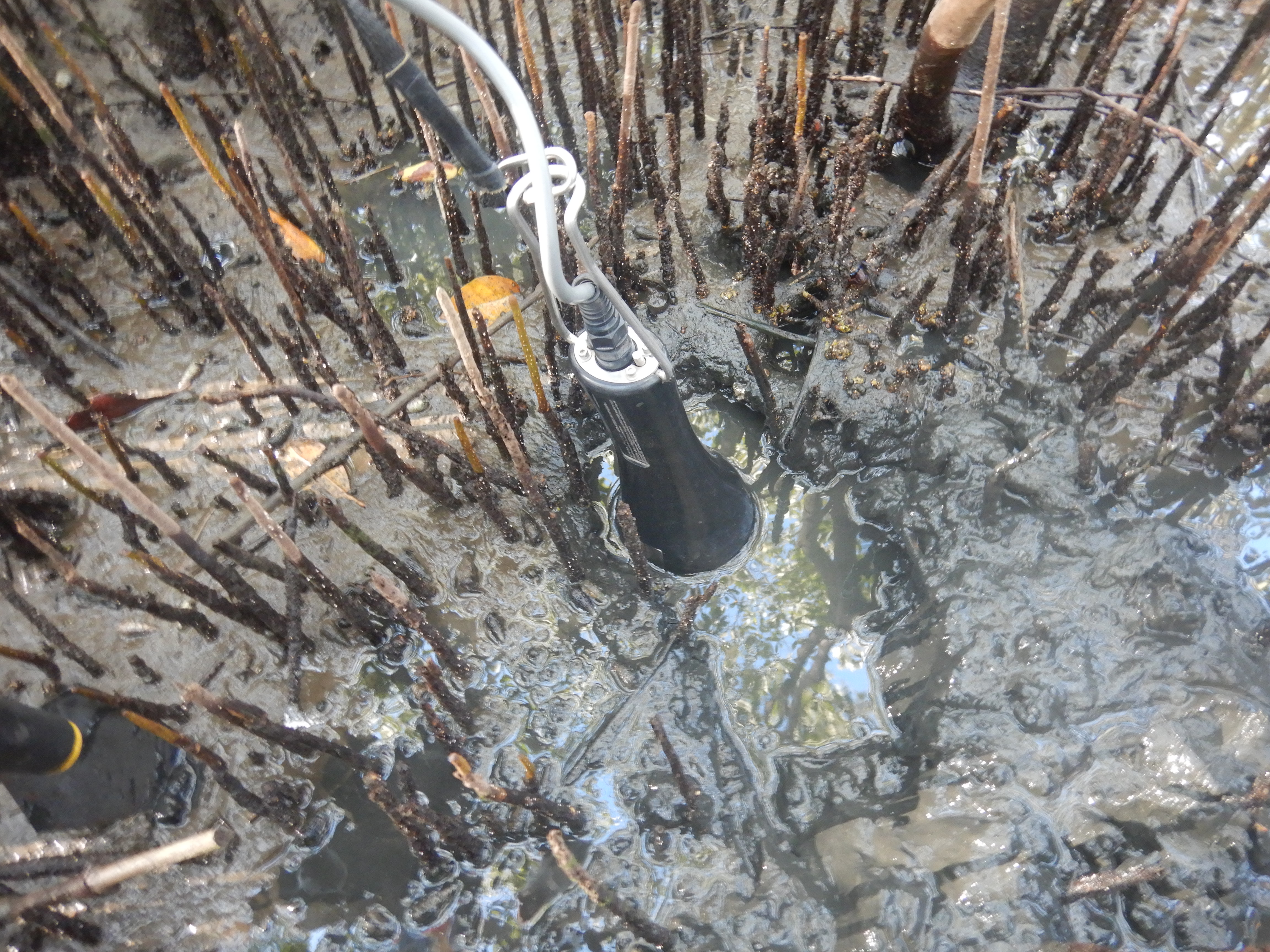
C and CO2-Related parameters
Pneumatophore and burrows were measured to assess vegetation structural complexity and faunal activities. Porewater variables were also measured using the Horiba multiparameter instrument.