
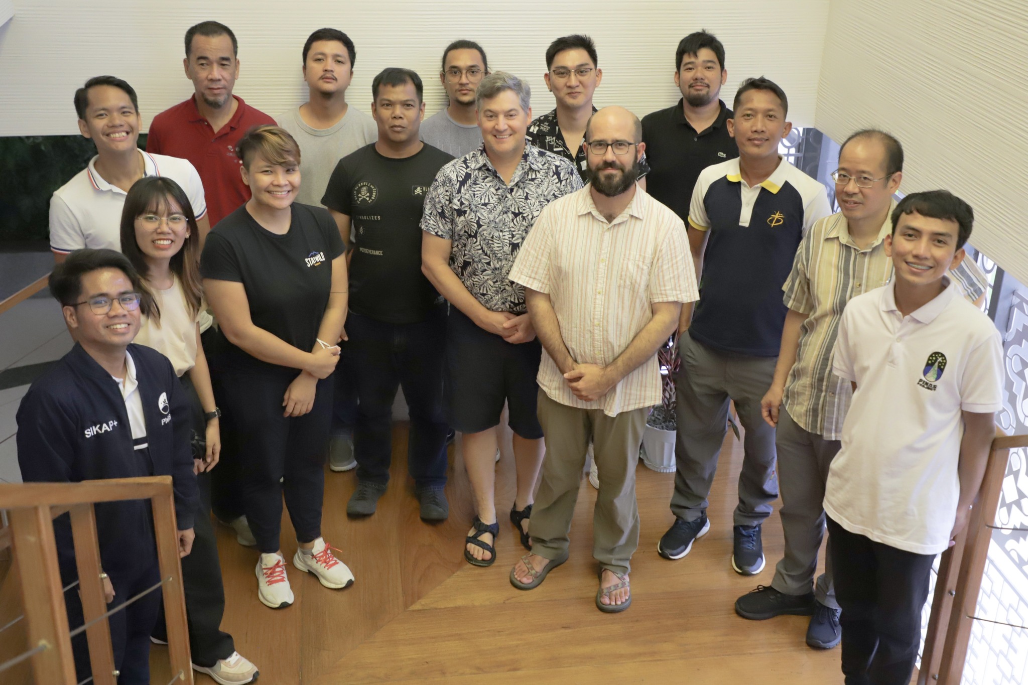
The United States Agency for International Development (USAID) Fish Right Program in collaboration with the University of Rhode Island and East Carolina University organized a Workshop Training on Mapping Coastal Habitats Using Satellite Imagery last 21 to 23 August, 2023 in Puerto Princesa City, Palawan. Speakers Dr. John P. Walsh (University of Rhode Island) and Dr. David Lagomasino (East Carolina University) trained the participants on using Google Earth Engine for remote sensing and assessment of different coastal habitats such as coral reefs, seagrass beds, and mangrove forests.

Photo Credit: Palawan Council for Sustainable Development
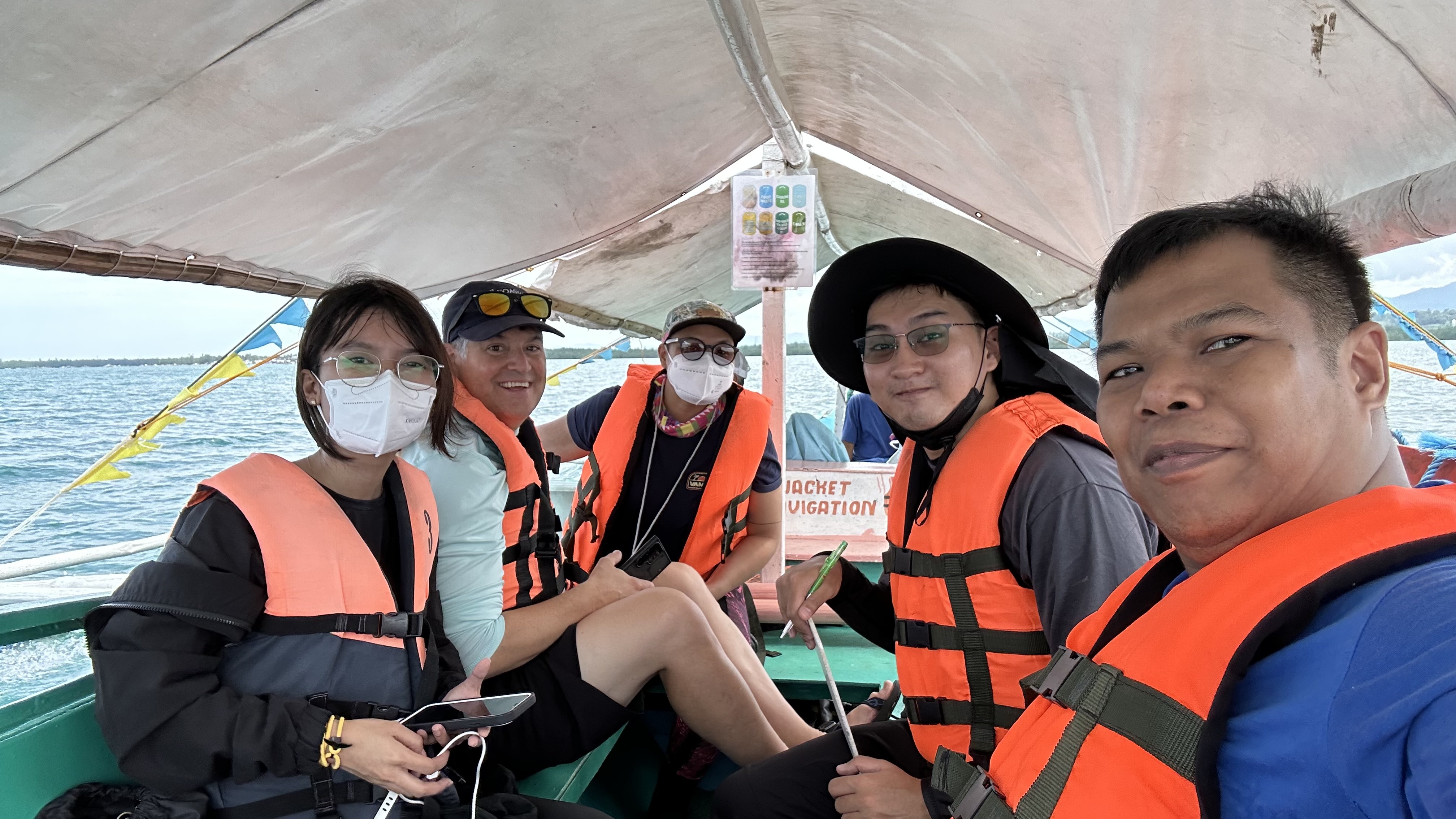
During the workshop training, the speakers taught the participants the basics of remote sensing, satellite imaging, and Google Earth Engine and their importance on mapping coastal habitats, policy making and management, establishing marine protected areas, and monitoring of these habitats. The participants also conducted a fieldwork and ground truthing in Honda Bay to collect data for mapping the coastal habitats of the area.
Delegates from the Philippine Space Agency, DA-BFAR, LGU of Puerto Princesa City, University of the Philippines Marine Science Institute, UP Department of Geodetic Engineering, De La Salle University, and Western Philippines University also presented the projects that they are currently working on and shared their learnings during the 3-day workshop.

Mareah Wayne Maramag from PEER ManCoRe presenting the project to the attendees of the training.
